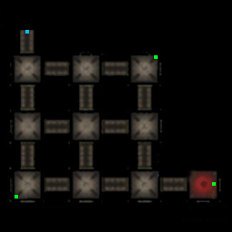
File:Kuahklo Dong Interactive Map.png
Jump to navigation
Jump to search
No higher resolution available.
Kuahklo_Dong_Interactive_Map.png (256 × 256 pixels, file size: 51 KB, MIME type: image/png)
Kuahklo Dong Interactive Map
File history
Click on a date/time to view the file as it appeared at that time.
| Date/Time | Thumbnail | Dimensions | User | Comment | |
|---|---|---|---|---|---|
| current | 23:58, 18 October 2024 | | 256 × 256 (51 KB) | Tyro (talk | contribs) |
You cannot overwrite this file.
File usage
The following 2 pages use this file: